Research, Publications, Presentations
Geographic Information Systems
Learning by doing, through partnerships, training, research, and service
The GIS program at College of the Atlantic is built on projects that make an impact on campus and in the community. Our students and faculty produce innovative atlases, maps, and presentations through hands-on partnerships and applied research.
Frenchman Bay Atlas Project
Developed in partnership with the Frenchman Bay Partners, this project supports a sustainable economic and ecological future for the region.
The atlas references a wide range of geographic data sources and allows users to interact with and combine data layers in new ways.
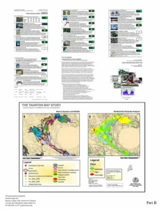
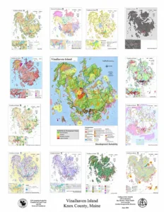
Selected maps and studies


Student and faculty presentations
Access interactive GIS presentations and project reports hosted online:
GIS at College of the Atlantic
Learn more about the GIS program’s mission, facilities, and how you can get involved